Flood monitoring stations
Prince Street Gauge Camera
The images below are produced by a camera associated with a water level recorder managed by the NSW Office of Environment and Heritage, and operated by Manly Hydraulics Laboratory, NSW Public Works. Clarence Valley Council gratefully acknowledges the NSW Office of Environment and Heritage and Manly Hydraulics Laboratory for access to these images.
During normal conditions the images are updated every hour, and more frequently during potential flooding. Please note that the time stamp for the camera images is related to Australian Eastern Standard Time (EST), and there will be an hour difference during daylight saving (Eastern Standard Daylight Time).
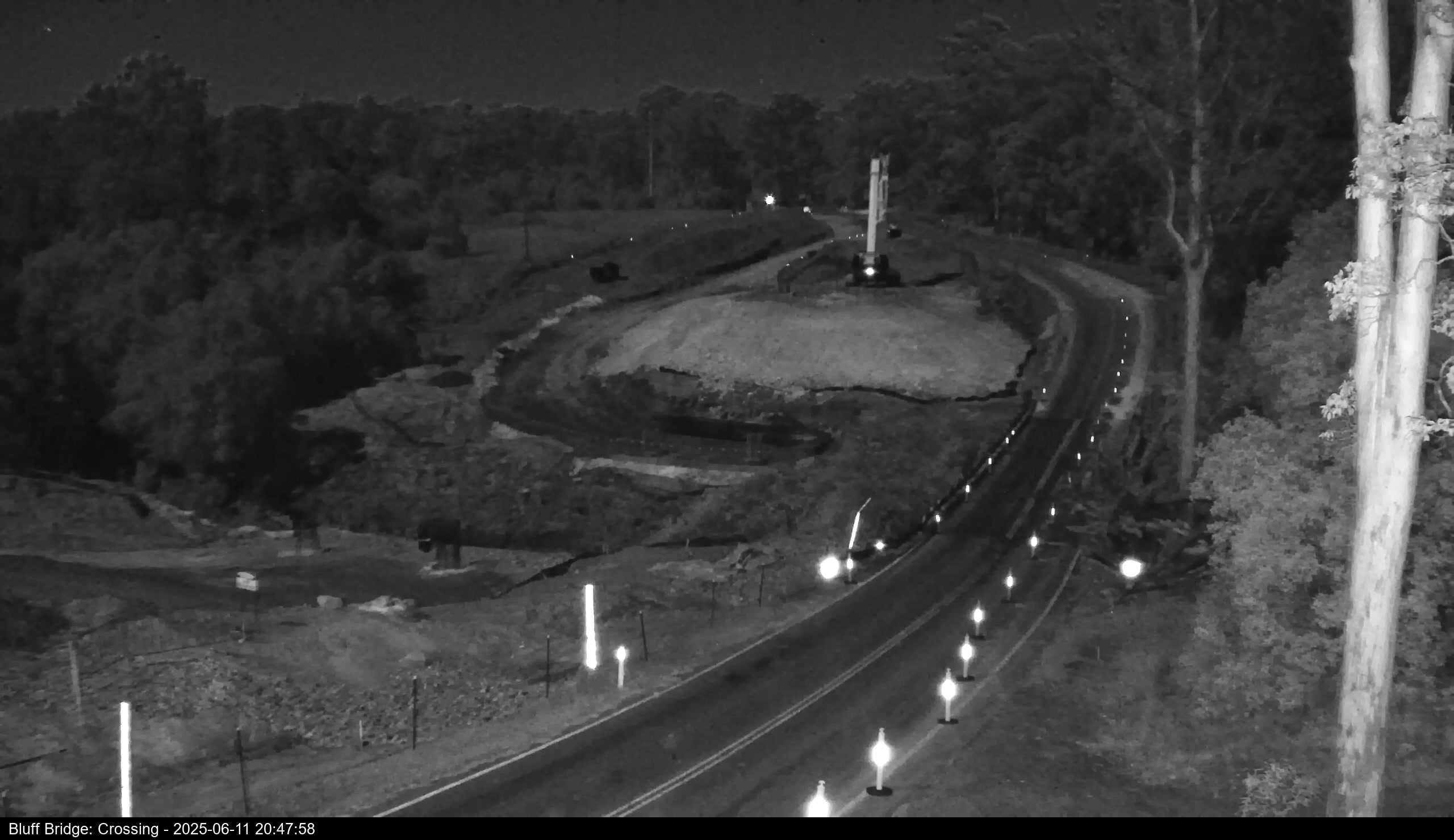
Bluff Bridge Monitoring Station
Flooding of the Orara River has caused the Orara Way to close on many occasions at Bluff Bridge. As a result of the isolation and inconvenience this causes for Glenreagh and surrounding communities, plus through traffic between Grafton and Coffs Harbour, the Bluff Bridge Flood Monitoring Project was created. Its goal is to ensure that any road closure can be communicated in a timely manner to all motorists, and it is co-funded by us and the NSW Government under the Floodplain Management Grants Program.
The camera monitoring system is designed to live-stream images so residents can see the bridge status in real time, and is complimented by a remotely monitored flood gauge and automatic signs controlled by water levels in the Orara River. During normal conditions the camera images are updated every hour during daylight hours, and more frequently during potential flooding. Images are time and date stamped to enable people to tell when they were taken.
Note the Water Level shown in the graph below is the water level relative to the bridge deck and is not the river level.
Esk River Monitoring Station
Other locations