MAYORAL MINUTE: Calls to include Clarence in flood data assessment
Published on 29 June 2022
Clarence Valley Mayor Ian Tiley has demanded the Clarence be included in any 2022 flood studies and assessments after discovering the region had been ignored in initial assessments by a NSW Government department.
Mayor Tiley put forward the Minute at the June Council meeting upon advice from the Department of Planning and Environment that post flood data behaviour assessments already undertaken focused on the Richmond, Wilson, Brunswick and Tweed rivers - local government areas to the north of the Clarence Valley.
Clarence Valley Council was excluded from this work on the basis that flood levels at the Prince Street, Grafton gauge were not considered of the same scale as rivers to the north and that there was already sufficient historical data about river behaviour based on the level at Grafton.
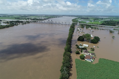
The Clarence River peaked at 7.66m at Grafton - below the levee wall and 2013 flood levels. Meanwhile, relative flood levels were much higher further downstream. Photo: William North
Mayor Tiley stressed that this decision did not consider the significantly higher flood levels at towns and villages downstream. Grafton's peak of 7.664m had an average exceedance probability* (AEP) of 6.6 per cent, compared to 2 per cent for Maclean's 3.36m peak.
"The flood level at Grafton was not a predictor for the flood behaviour downstream," Mayor Tiley said.
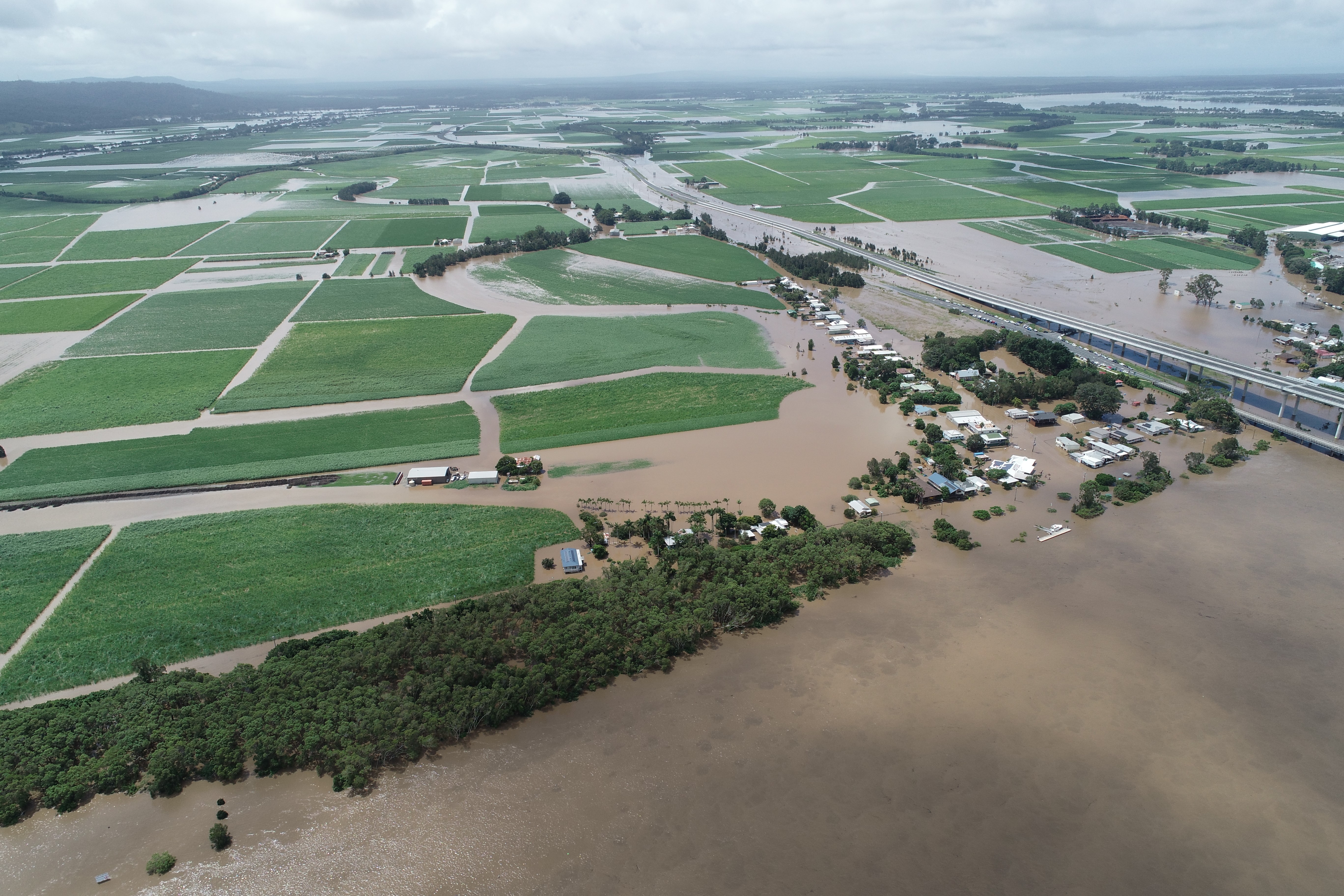
"It is clear the Clarence flood increased in volume as it moved downstream and staff consider it likely the extreme localised rainfall events in the tributaries of the lower catchment impacted Clarence River levels downstream of Grafton, and that post flood data behaviour assessments may inform these assumptions."
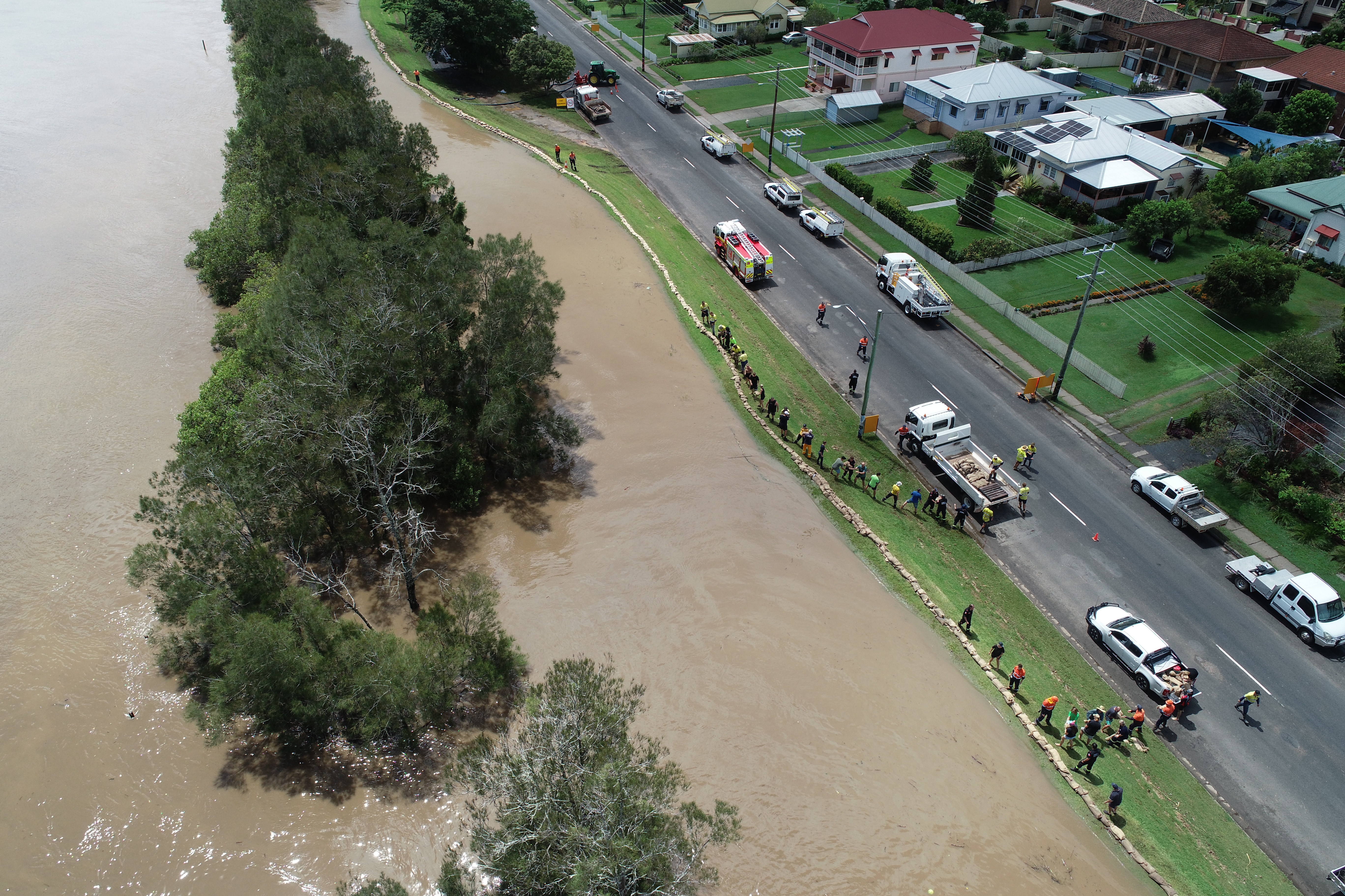
The Maclean community fought gallantly to sandbag the town and prevent major flooding after the Clarence River's peak of 3.36m exceeded the levee wall maximum height of 3.30m.
CVC previously reported in April that Yamba experienced its biggest rainfall event on record, with 1267mm in February and March. This included 274.4mm on 28 February - the highest 24-hour February total on record - and 258.2mm on 1 March for a total of 532mm.
“There has been no event or combination of events since records began that comes close to the rainfall totals recorded at Yamba in February and March,” Clarence Valley Council Director Works and Civil Jamie Fleeting said at the time.
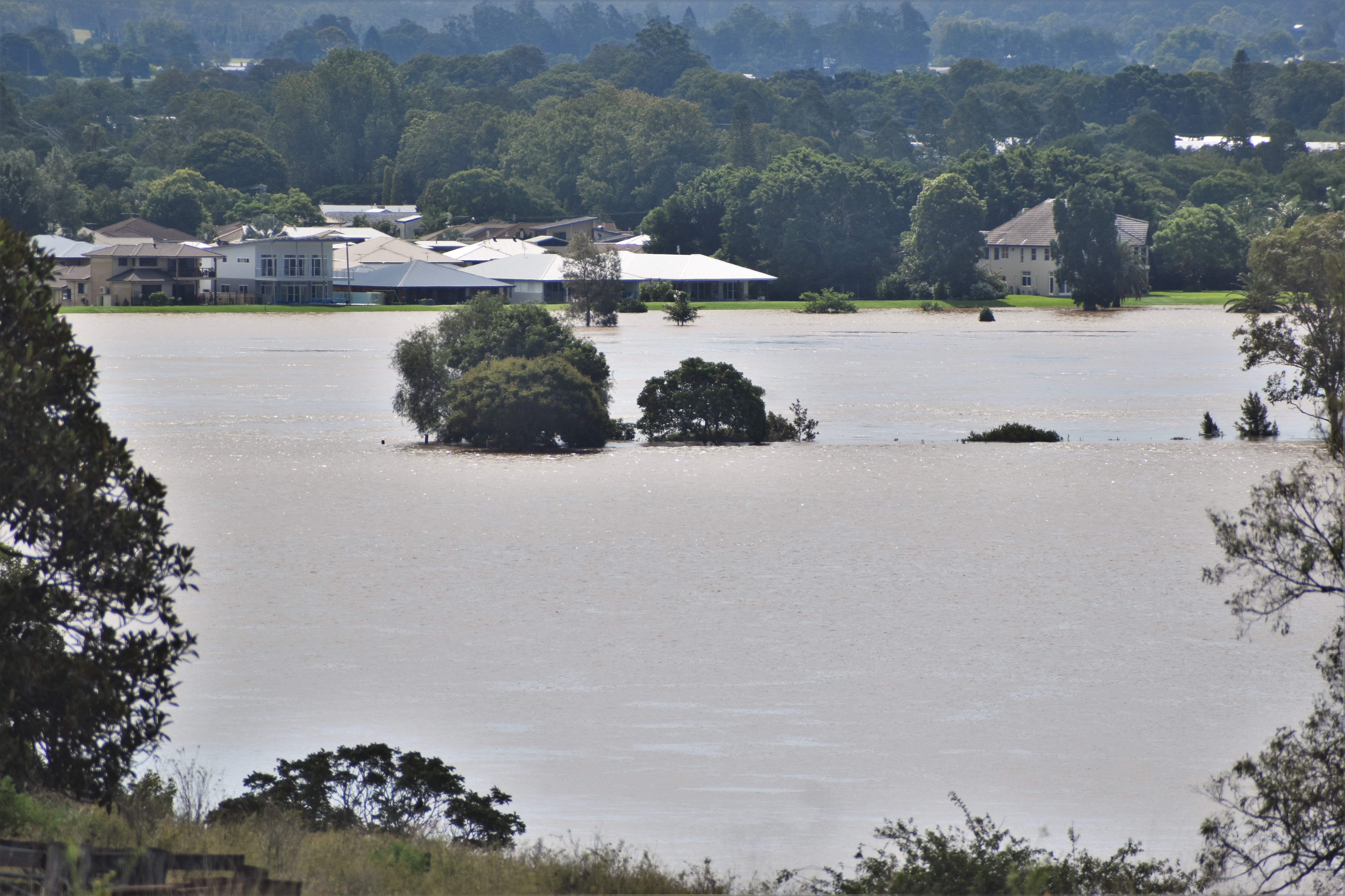
Harwood Island during the 2022 floods.
The Mayoral Minute received unanimous support at the Clarence Valley Council Ordinary Meeting at Maclean Council Chambers.
Council will now advocate through the NSW Premier, Minister for Emergency Services and Resilience, Minister for Environment and Heritage and Member for Clarence that Clarence Valley Council and the Clarence River be included in any other post 2022 flood and storm event studies and assessments undertaken across the Northern Rivers by the Environment Heritage Group or any other State departments.
While the Mayoral Minute is exclusively aimed at state departments, it has been confirmed that a Federal Government funded CSIRO research project aimed at understanding and minimising flood impacts on the Northern Rivers region will include the Clarence River.
Initially flagged for the Richmond and Wilson catchments, the new Minister for Emergency Management, Senator Murray Watt, announced the expansion in scope and budget to also cover the Clarence, Brunswick and Tweed catchments after meeting with representatives from Northern Rivers councils, including Clarence Valley Council's Cr Allison Whaites, during a recent visit to Lismore.
For media enquiries please email communications@clarence.nsw.gov.au or phone 0427 894 745.
* Average Exceedance Probability (AEP) is the probability that a flood of a given (or larger) magnitude will occur within a period of one year.